Dispossession Map
The Dispossession Map shows some key events in the history of Victoria related to First Peoples dispossession from land, including:
- the growth of pastoral holdings (1835-1851) and townships in Victoria, including showing where and when colonial frontier massacres occurred.
- the location of missions and reserves.
- land and recognition mechanisms and legislation systems, including the current areas where native title and/or settlement agreements are in place.
Explore the Dispossession Map
Reports and Recommendations
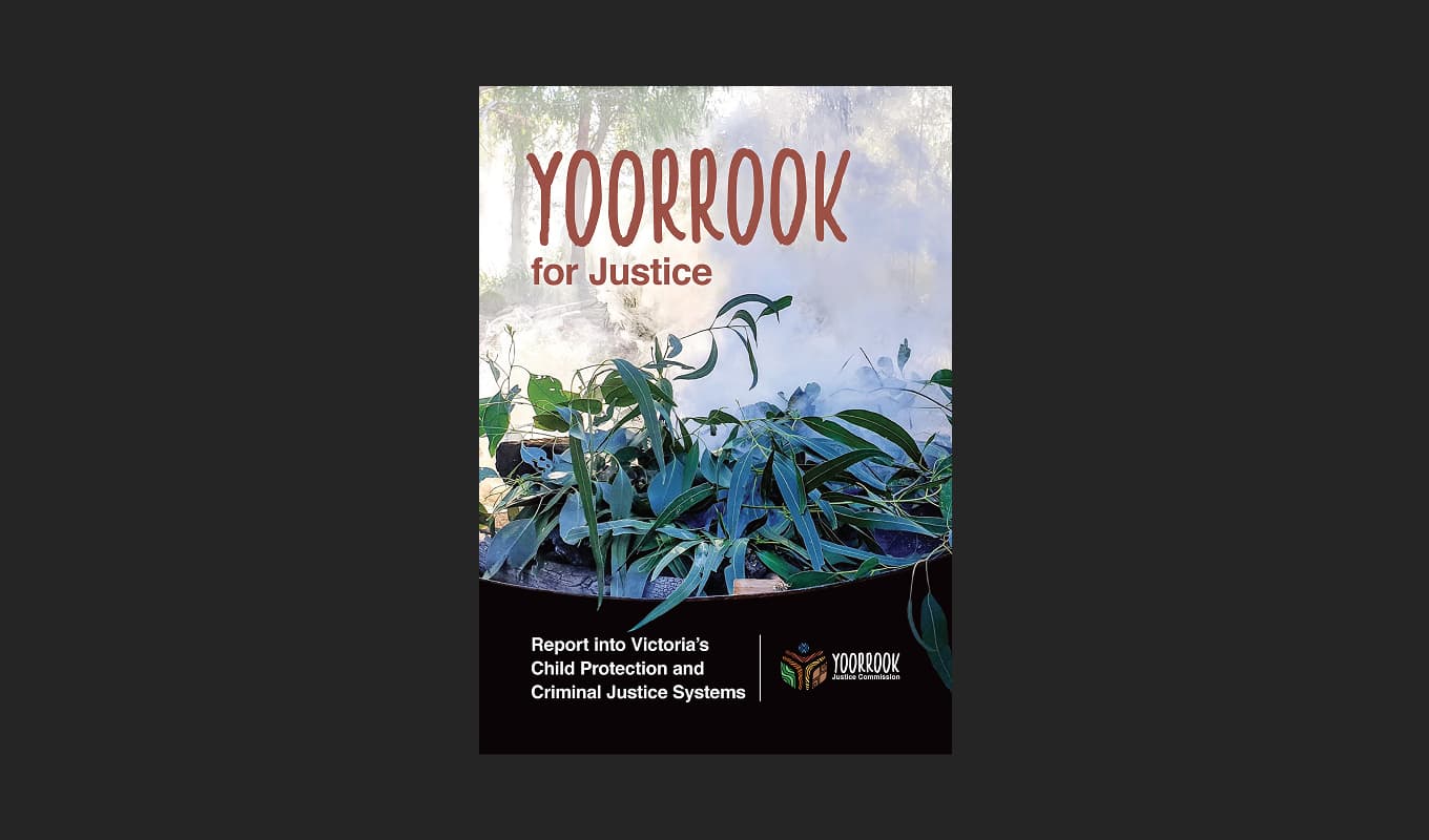
Read the official reports and recommendations of the Yoorrook Justice Commission.

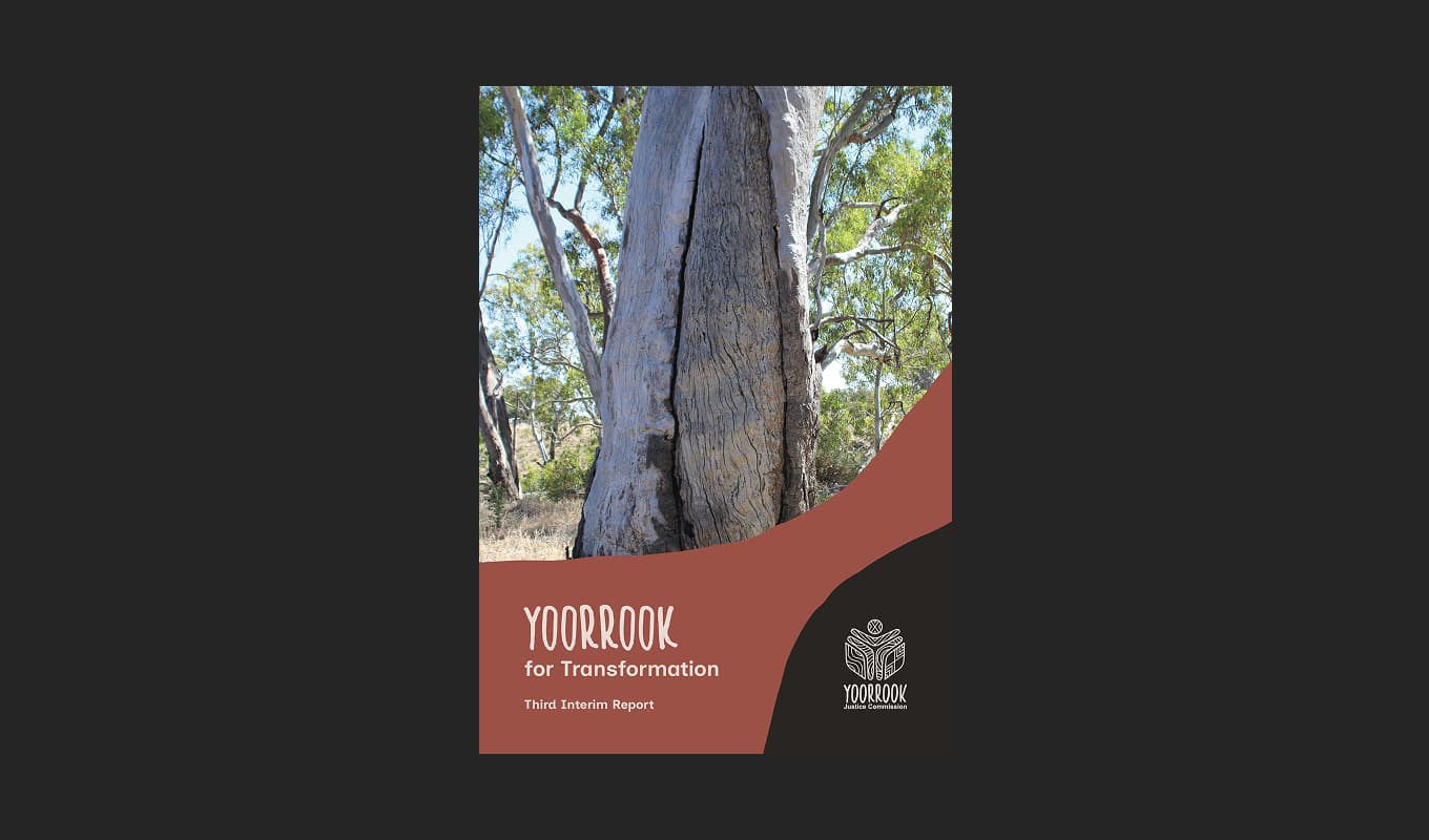
Yoorrook for Transformation
Third Interim Report: A five-volume comprehensive reform report presenting evidence and findings on systemic injustices, and specific recommendations for meaningful change to transform the future.

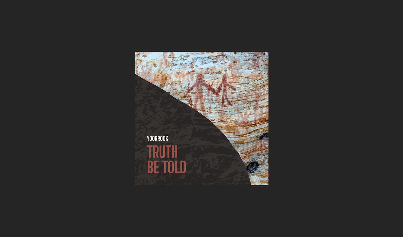
Truth Be Told
An official public record that documents First Peoples experiences since colonisation, preserves crucial testimonies for future generations and creates an enduring resource for education and understanding.

Recommendations for change
Yoorrook Justice Commission’s recommendations for truth-telling, justice, and systemic reform in Victoria.
